Saltaire since 1910
The first incorporated village on Fire Island, on the widest part of the island, between the Great South Bay and the Atlantic.1, 2
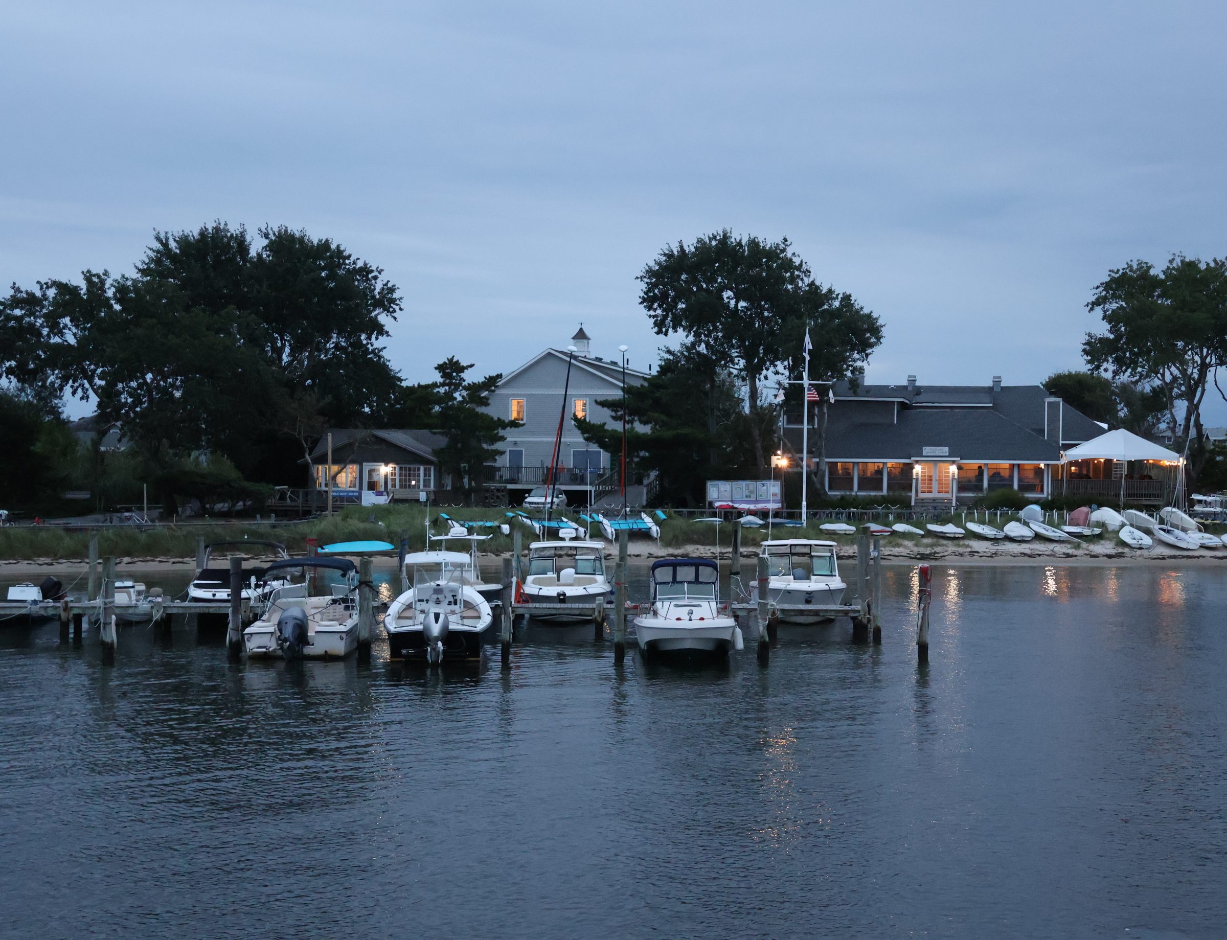
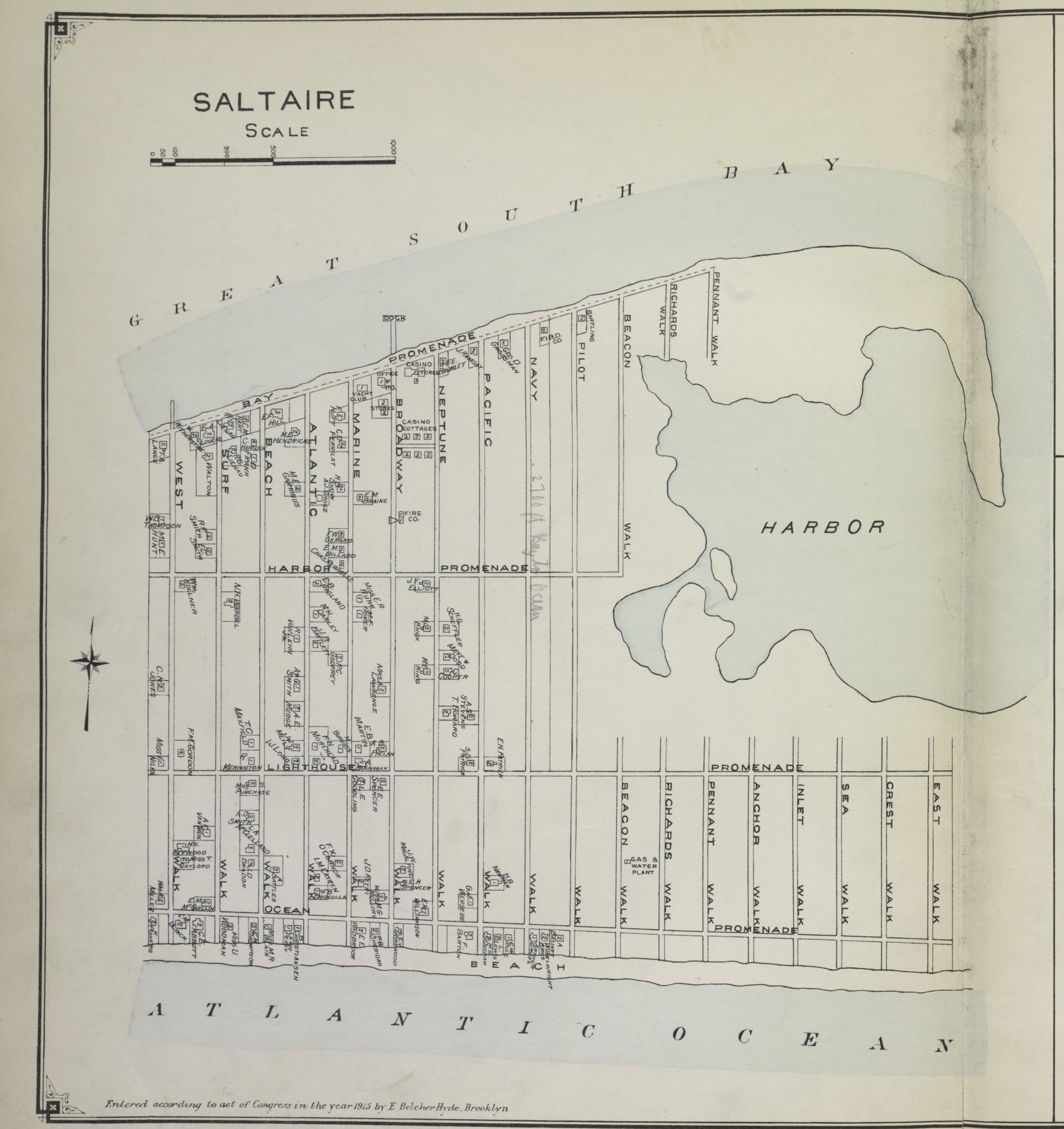
The land was bought and plotted in the fall of 1910 by the Fire Island Beach Development Corporation; by 1911 more than a hundred houses had been built, and by 1912 the boat owners had formed a yacht club.1 The first residents moved in during 1912.3 Seven years after the land was plotted, the village incorporated in 1917.1, 2 Its name comes from an English town on the River Aire, and its harbor, Clam Island, is the only natural protected harbor on Fire Island.1
The hurricane of September 21, 1938 destroyed much of the village.1, 3 It was rebuilt with help from the Works Progress Administration and the New York State Teachers' Retirement Fund,1 and the number of houses did not return to its 1938 level until the 1970s.3 Saltaire lies between Kismet and Fair Harbor,2 within Fire Island National Seashore, established in 1964,4 and is reached by passenger ferry from Bay Shore.5
- Lee E. Koppelman and Seth Forman, The Fire Island National Seashore: A History, State University of New York Press, 2008, chapter 1.
- Wikipedia, “Saltaire, New York” (read 2026-10-14), citing U.S. Census Bureau geographic identifiers and the 2020 Census, and the Brooklyn Daily Eagle, October 16, 1917 (“21 Voters Make Saltaire A Village”); the Eagle article was not read directly.
- Fire Island News, “Saltaire Summery”, July 20, 2016.
- National Park Service, Fire Island National Seashore, “History & Culture”.
- Fire Island Ferries, Saltaire schedule and homepage (“a barrier island with no cars”), fireislandferries.com.